

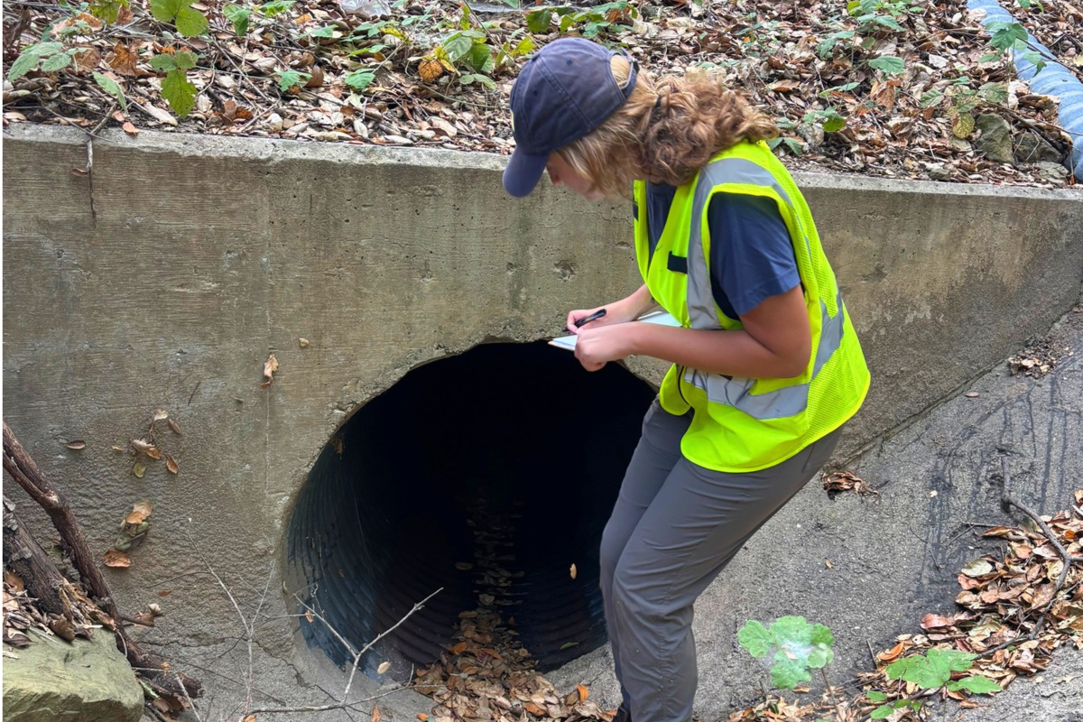

Mountain lions, bobcats, deer, and coyotes have to cross Highway 154 to reach food, water, mates, and refuge from fire and drought, and many are killed trying. Our new report, State Route 154 Wildlife Crossing Opportunities: An Assessment of Existing Road Infrastructure, identifies 47 potential wildlife crossings along the highway and recommends practical ways to make the most promising ones safer for wildlife.
Why Highway 154 Matters for Wildlife
State Route 154 runs 32 miles from Santa Barbara over San Marcos Pass to the Santa Ynez Valley, through chaparral, oak woodland, and streamside habitat. The California Department of Fish and Wildlife has identified the highway as a barrier to wildlife movement because it cuts through a habitat linkage connecting the Santa Ynez Mountains to the larger Los Padres National Forest by way of the Cachuma Lake Recreation Area. A 2023 study by the UC Davis Road Ecology Center also identified portions of the highway as hotspots for wildlife-vehicle collisions.
“Wildlife is already trying to cross Highway 154, and too many animals are killed in the attempt,” said Carlo Calderon, wildlife coordinator at Los Padres ForestWatch. “None of these culverts and underpasses were built for wildlife, yet several of them already have what animals need, and others could get there with modest improvements. This inventory shows agencies and partners where to focus.”
How We Surveyed the Highway
Between July and September 2026, our field team used Caltrans infrastructure records to locate culverts, bridges, and underpasses along the highway. Working on foot and with a drone in steep, densely vegetated terrain, the team assessed 194 structure openings.
Each opening was scored for the features that research shows matter most to wildlife: the size of the opening, a natural ground surface, vegetation cover near the entrance, a clear line of sight through to the other side, and the absence of fences or other barriers. Forty-seven crossings with both openings fully assessed were included in the final inventory.
Where Wildlife Has the Best Chance to Cross
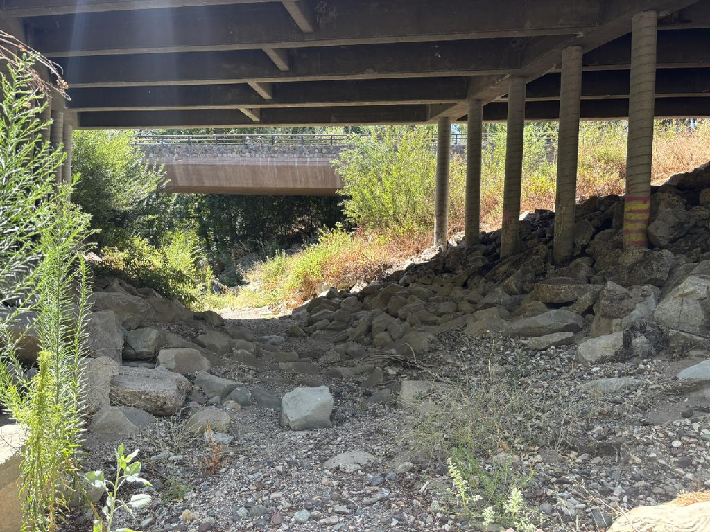
The inventory found that most crossing opportunities, including most of the highest-scoring crossings, are concentrated in the northern half of the highway, from Cold Spring Canyon Arch Bridge past Lake Cachuma toward the Santa Ynez Valley.
Potential wildlife crossings along Highway 154, colored by Connectivity Score: low (0–4), medium (5–8), high (9–12), and very high (13–16). Higher-scoring crossings are concentrated from Lake Cachuma toward the Santa Ynez Valley.
The report profiles four standout crossings, with scores ranging from 10.5 to 15 out of a possible 16. The best-scoring structures combine large openings, short lengths, clear sightlines to habitat on the other side, and dense vegetation near their entrances.
Simple Fixes that can Make a Big Difference
For each of the top crossings, the report recommends practical improvements, including:
- Dry passage shelves or ledges where standing water may turn animals away
- Baffles that build up natural sediment on concrete culvert floors
- Grated openings that bring natural light into long, dark culverts
- Vegetation management to keep sightlines clear while still providing cover
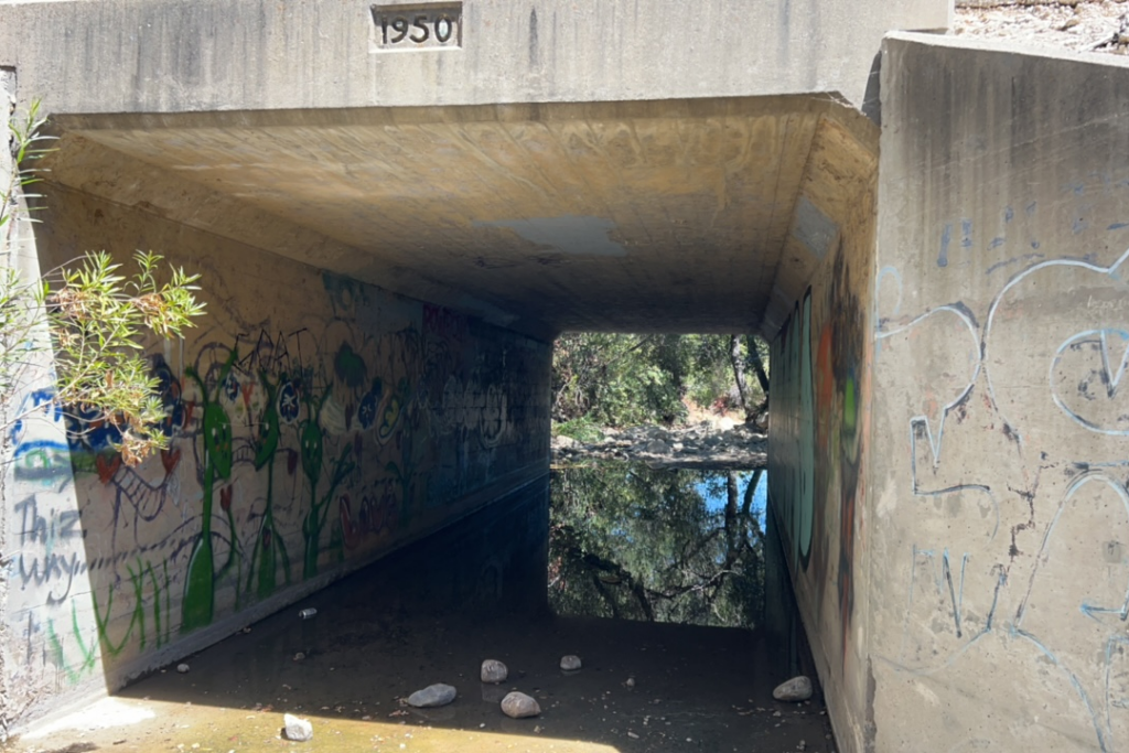
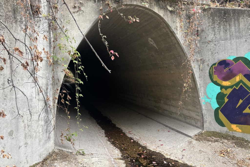
“There’s a lot of excitement right now around building dedicated wildlife crossings and overpasses, and we need those projects,” Calderon said. “We hope this inventory also shows that smaller investments in structures that already exist can go a long way.”
What Comes Next
The report arrives as California places new emphasis on wildlife connectivity. The Room to Roam Act (AB 1889) requires cities and counties to address wildlife connectivity in their general plans, and SB 1250 directs Caltrans to consider wildlife connectivity in transportation planning. Both depend on the kind of crossing-level data this report provides.
Possible next steps include setting up wildlife cameras at high-scoring crossings to document which species are using them, and applying the same survey methods to other wildlife barriers on the Central Coast, including portions of State Routes 1, 166, and 246.
Download the full report to explore the findings, crossing profiles, and recommendations. Complete datasets, including survey photographs, are available by contacting ForestWatch.